Great North Trail full route

Download The Great North Trail Cape Wrath complete
Download The Great North Trail John o’ Groats complete
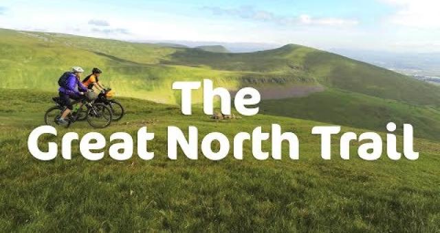
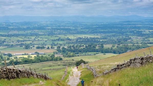
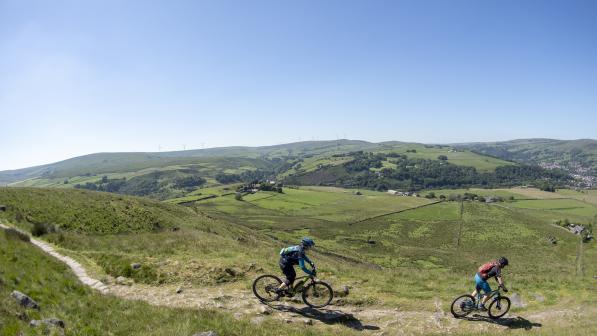
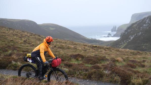
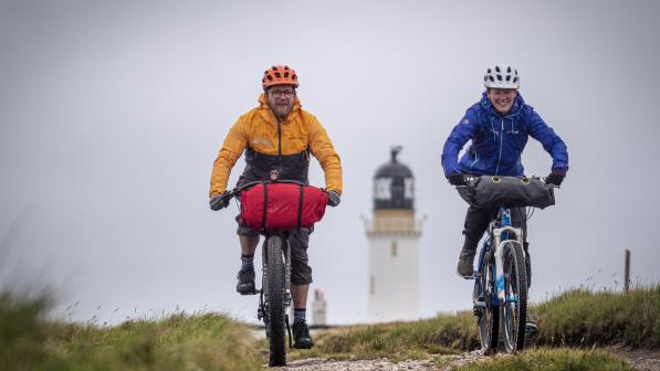
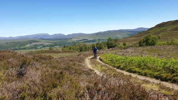
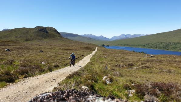
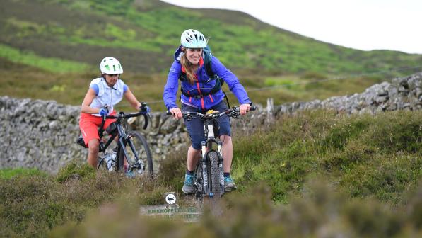
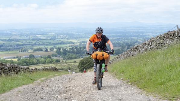
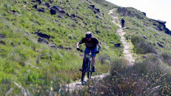
Explore the huge variety packed into Scotland and northern England: from rolling hills and dales to remote windswept moorland, crumbling castles to hidden waterfalls, from swooping singletrack to old Roman roads, and everything in between.
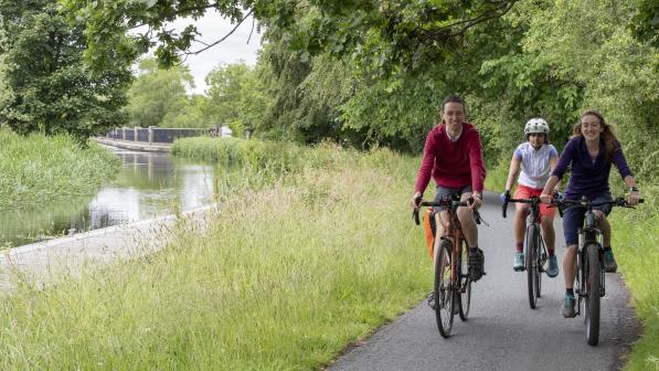
The route as a whole is designed to be an adventure mountain biking route, and is mainly on unsurfaced trails. However, the nature of the terrain varies in different areas – there are many rugged upland trails across exposed moorland, suitable for more experienced mountain bikers, but also shorter sections of canal path and disused railway perfect for family days out. You can choose your own level of challenge.
Find out more about the Great North Trail
Important trail updates
Following periods of wet weather, there are several river crossings which can be difficult and potentially risky when the water is in full flow (Part 5, Fort Augustus to Oykel Bridge). In these circumstances you might prefer to plan a detour along the road rather than having to backtrack. Crossing grid references: NH 43999 45380 (road detour via Eskadale and Ardnagrask), NH 41528 95411 and NH 37381 97583 (road detour via Culrain).
Check the An Turas Mor website for additional updates for sections between Glasgow and Cape Wrath.
Buy your own printed copy of the route guide
Download the full route guide
The Great North Trail links the Pennine Bridleway with the northern tips of mainland Scotland, through some of Britain’s most stunning upland areas and four National Parks.
So whether it’s for an epic long-distance challenge, a weekend away, or a fantastic day out, get out there and have an adventure.
Explore sections of the route in more detail
The route is divided into eight sections, each of which you could ride in full over a long weekend or choose a shorter segment as a day ride.
See the route and guide for each section:
Part 1 – Peak District and South Pennines: Middleton Top to Hebden Bridge (129km, 2-3 days)
Part 2 – Yorkshire Dales: Hebden Bridge to Appleby-in-Westmorland (171km, 2-3 days)
Part 3 – North Pennines and Kielder Forest: Appleby-in-Westmorland to Kielder (123km, 2-3 days)
Part 4 – Scottish Borders: Kielder to Edinburgh (154km, 2-3 days)
Part 5 – Central Belt: Edinburgh to Glasgow (83km, 1-2 days)
Part 6 – Grampian Mountains: Glasgow to Fort Augustus (260km, 3-5 days)
Part 7 – Northern Highlands: Fort Augustus to Oykel Bridge (151km, 2-3 days)
Part 8 – Sutherland and Caithness: Oykel Bridge to Cape Wrath (133 km, 2-3 days) or Oykel Bridge to John o’ Groats (218km, 3-4 days)
The final section gives you the option to choose where you want to finish: Cape Wrath, the quiet, remote and most north-westerly point of the UK, or John o’ Groats at Scotland’s north-eastern tip.
Each chapter includes information about places of interest along the route, recommended refreshment stops and cycle-friendly accommodation, as well as nearby train stations and bike shops.
For some sections, you can choose to follow the main route or test yourself on an alternative ‘challenge loop’ for some big climbs, great views and fantastic descents.

Difficulty ratings
Difficulty ratings are included for each part of the route, using the standard mountain biking grading system. In addition to the standard Green, Blue, Red and Black, we have added a Purple grade which refers to Red technical difficulty plus remoteness, where experience of the outdoors is required. These ratings are intended as a guide only, to help you decide which sections are best for you.
Navigation
There are overview maps in the guide which give an overall idea of where the route goes, but paper maps or GPS will be needed for accurate navigation as the majority of the route is not signed. Each route page has a link to the guide and downloadable GPX files.
From Middleton Top to Kirkby Stephen (most of Parts 1 and 2), the Great North Trail mostly follows the Pennine Bridleway National Trail, so while back-up navigation is always advisable, it is fairly straightforward to follow. Part 5 from Edinburgh to Glasgow is a National Cycle Network route along the canal, so navigation is also simple.
The route passes through some remote upland areas, so don’t rely on having a phone signal!

Safety
While some parts of the route are accessible for all levels of ability, many sections take you through hilly terrain where you may be quite far from civilisation. The wilderness factor is all part of the appeal, but it’s important to be prepared for the conditions as the weather can change quickly in the hills.
Essentially: ride within your ability, be prepared, have fun.
Which bike?
Given the varied nature of the route, some sections are more suited to different kinds of bikes. This is fine if you’re riding a short section, but if you’re planning a longer trip it’s a game of compromise.
The ‘right’ bike will depend on the rider, and your abilities and priorities – efficiency, comfort, or to ride and enjoy the more technical sections at speed.
Some experienced riders who would want efficiency and to tough it out on the more challenging sections could use a gravel bike, although we would suggest tyres with around 40mm width as a minimum. A hybrid bike, with 50mm-wide tyres with reasonable tread would also suffice for much of the route.
Our recommended choice of bike overall, though, would be a hardtail mountain bike or short travel (100mm) full-suspension, for comfort, enjoyment and security on the rougher terrain and descents.
Read our comprehensive guide to backpacking for advice on carrying gear for a multi-day off-road trip.

© 2019 Cyclists Touring Club trading as Cycling UK. All rights reserved.

