Great North Trail Part 1: Peak District and South Pennines
Part 1 of Cycling UK's Great North Trail, an off-road route from the Peak District to Cape Wrath or John o' Groats.
GPX files updated 12 December 2019 with a slight change to the route - please make sure you have the most current version.
See places to stay, eat and visit in the full route guide
Best for:
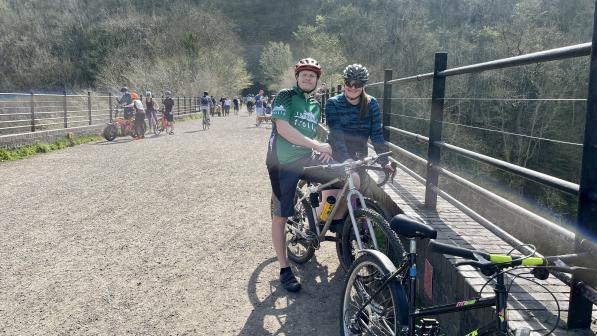
Family day rides & long distance rides in the White Peak.
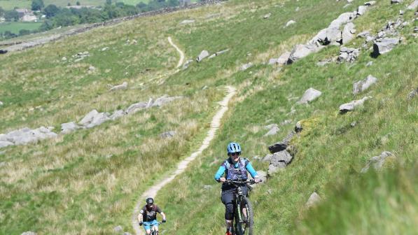
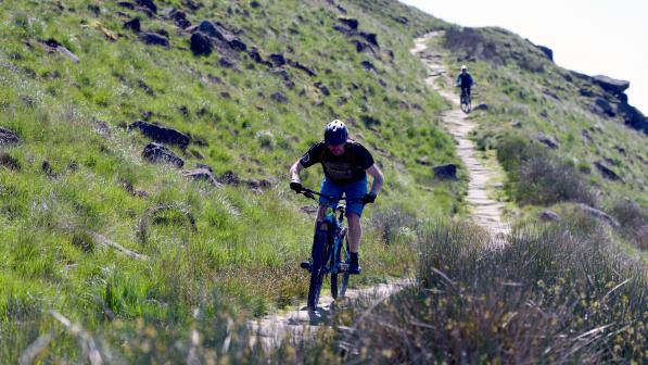
Tough and technical day rides in the Dark Peak.
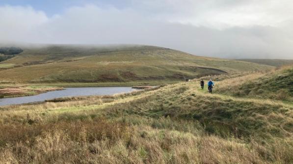
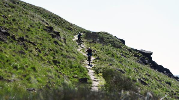
Wild, remote rides across the moors and steep technical, rocky rides in the valleys around Calderdale.
Area and route
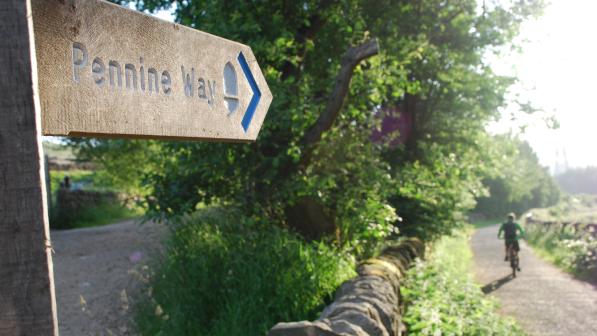
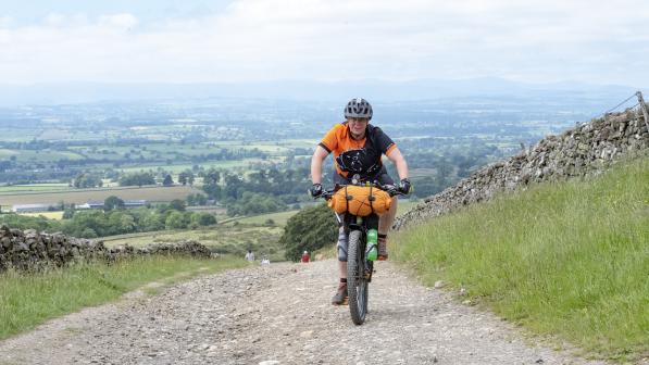
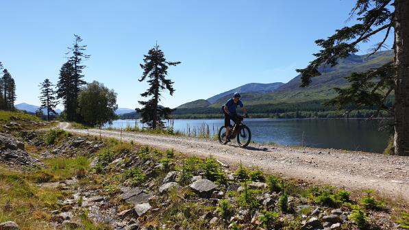
For this section of the Great North Trail, you’ll be riding the Pennine Bridleway, a route that traverses a wide variety of landscapes through the Peak District and Yorkshire Dales National Parks.
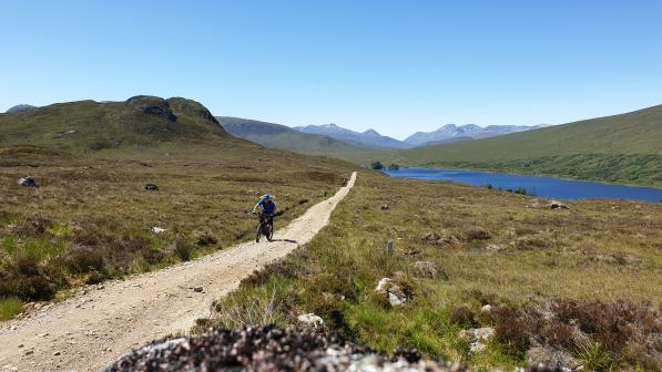
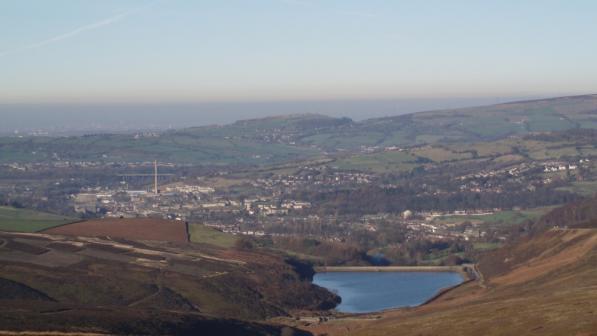
Enjoy rolling green farmland, bleak moorland, steep-sided wooded valleys and take in mills, reservoirs, canals and dismantled railways along the way.
Many sections use the original packhorse or drovers’ routes across the moors, some dating back to medieval times, while others are newly negotiated to link it all together.
For anyone after a tougher, more technical route, you can tackle the Jacob’s Ladder alternative ‘challenge loop’ (bringing your trip on this section to 135km all told).

Navigation
The Pennine Bridleway National Trail is well-signed throughout, so it’s not hard to stay on track. Obviously, signs may get broken or obscured over time, so do take a back-up map.
Difficulty rating
The following ratings use the colour-coded mountain bike trail grading system - see here for an explanation. Difficulty ratings are intended as a guide only, to help you decide which sections are best for you.
Green: The High Peak Trail, from the start at Middleton Top through to the A515 road crossing north of Parsley Hay is all well-surfaced, and a mostly flat and traffic-free cycle path.
Blue/(Red): from the A515 crossing to the River Wye, the trails become rougher and with steeper gradients, along with road sections and crossings. (The steep descent SK 115 723 down to River Wye itself and the steep climb SK 115 728 out the far side are both Red).
Mostly Blue/(Red): from the River Wye to Peak Forest (there are some rocks in places and a rocky section of track between Wheston and Peak Forest SK 122 776. Red).
Note: The optional loop via Castleton has some steep, rocky technical trails, so is graded Red. A short section in Cave Dale, just before Castleton, could be graded Black, SK 149 824, especially if conditions aren’t ideal.
Red: Peak Forest to near Rowarth (near Glossop) - steep inclines and declines across rough and remote terrain.
Blue: Glossop to Tintwistle.
Red: Tintwistle to Calderdale Valley - steep gradients, rough terrain and remote location.
© 2019 Cyclists Touring Club trading as Cycling UK. All rights reserved.
