Weekender: Peak panoramas

Route name: The Highs and Lows of the Southern Peak District
Start/finish: Buxton Station (SK 05917 73767)
Maps: OS Landranger 119 Buxton & Matlock and 118 Stoke-on-Trent & Macclesfield (only about 6km of the route is on 119)
Ride length: 102km (61 miles) Climbing: 1,663m of ascent
Bike type: Any – the route is on quiet lanes, all tarmac. Low gears are helpful
Ride level: Regular/experienced due to the climbs. Or perhaps try an e-bike?
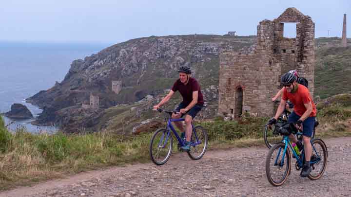
Quiet lanes link the many villages and hamlets in the southern Peak District, offering cyclists endless opportunities to explore the area. This ride takes in the natural and cultural history of the White Peak and the South West Peak, visiting many of the must-see attractions in the Peak District while largely avoiding the crowds.
Following this route, you could be mistaken for thinking the Peak District is so named due to the many hills! Starting in Buxton, at the end of the train line from Manchester, the route climbs away from the spa town towards the rugged South West Peak, with its gritstone edges and heather moorland.
Soon after, the route descends into the limestone landscape of the White Peak, passing close to the iconic, ancient limestone reef knolls, Chrome Hill and Parkhouse Hill.
Back in the South West Peak, the route circles the Roaches and Hen Cloud, popular climbing locations. The route then traverses through historic hamlets, including Hartington, Youlgreave and Monyash. There is an option to visit the bustling town of Bakewell before returning to Buxton.
The route lends itself to being split into two days, making a delightful weekend trip. Hartington, with its pubs, youth hostel, B&Bs and nearby campsites, is just over halfway. There are plenty of pubs and cafés on the route. There’s also cycle hire (including e-bikes) at Parsley Hay, on the route just beyond Hartington.
The loop around the Roaches and Hen Cloud can be omitted, removing nearly 300m of climbing and almost 20km in distance.

1. Axe Edge
Wild and remote Axe Edge is the high point of the ride at 523m. The rivers Goyt, Wye, Dove, Manifold and Dane all have their sources within a few kilometres of each other here. As you start the descent towards the A53, the iconic limestone hills, Chrome and Parkhouse, first come into view.
2. Longnor
The route crosses the River Dove at Crowdecote before climbing up to the historic market town of Longnor. At Longnor the route goes straight across the crossroads, steadily climbing up to the Morridge ridge, the third-highest point on the route. From here the gritstone outcrops, the Roaches and Hen Cloud, are clearly visible to the west.
3. The Roaches and Hen Cloud
The route heads around the back of both outcrops, before circling to the south for the famous views of the crags. These outcrops were formed around 300 million years ago as river deltas drained mountainous areas to the north. The route crosses an arm of Tittesworth Reservoir before climbing back up to Morridge.
4. Hartington
Enjoy a glorious descent for about 7km (4 miles) to the River Manifold and Hulme End. Shortly afterwards the popular tourist town of Hartington is reached. From here there is a gentle climb up a limestone dale towards Parsley Hay (cycle hire) and onwards towards Youlgreave, with its clear streams and swimming spot.
5. Over Haddon
Just before Over Haddon there is the option to drop down to Bakewell and back. If this is not taken, the route continues to Monyash, a town surrounded by ancient lead mines and old trade routes. There is a pub and café here, both popular with those travelling on two wheels.
6. Monyash
From Monyash the route continues along quiet lanes through Flagg and Chelmorton. The latter has many fields bounded by traditional dry-stone walls.
The A515 is crossed to pass through Harpur Hill, dominated by limestone quarries, before descending back to Buxton, the highest market town in England. In Buxton the route passes St Ann’s Well, an ancient, natural spring.