North Downs Way riders’ route – map and GPX

It takes in beautiful rolling hills and woodlands, castles and cathedrals, vineyards and breweries. The trail also travels along part of the ancient Via Francigena pilgrimage route.
The original National Trail route could not be cycled from end to end, because sections were on footpaths. Cycling UK worked with the British Horse Society and North Downs Way trail manager to propose an alternative rideable route in 2018.
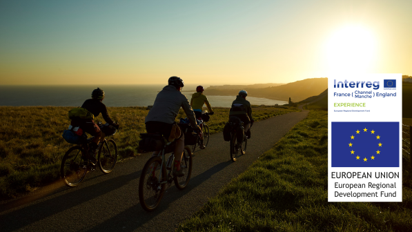
It links together bridleways, byways and quiet roads to detour from the footpath sections and create a continuous trail. Over the past few years it has been improved thanks to funding from the European Regional Development Fund EXPERIENCE project.
The Kent Downs Area of Outstanding Natural Beauty (AONB) team, which looks after the North Downs Way, has carried out enhancement works to make some sections more accessible for cycling. They have also worked with landowners to refine the line of the riders’ route.
This route makes North Downs Way the latest of England’s National Trails to be fully rideable, since the Pennine Bridleway was officially launched in 2012, and means that three out of the 15 (or 16 if including the England Coast Path) can be ridden by either bike or horse.
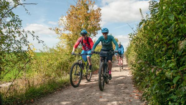
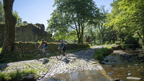
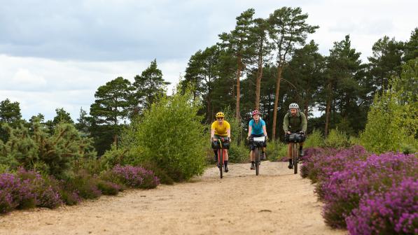
The trail provides a wide variety of riding that would suit hardtail mountain bikes and gravel bikes. The Surrey half, with its steep climbs and descents, holloways and narrow wooded tracks is probably best suited to a mountain bike, while the less tumultuous landscape, quiet lanes and gravel tracks of Kent have great potential for swooping along on your gravel bike.
You can find out more about what the trail is like to ride in these reports by Cycling Weekly and Singletrack.
The trail can be ridden in one go as a bikepacking adventure, or over separate day trips. We’ve broken the journey down in to three roughly 50-mile stages. Each section has a railway station at both the beginning and end that is serviced with direct trains to London.
For more information to help you plan your ride, have a look at the itinerary on the North Downs Way National Trail website.
To extend your ride further, you could link up with the Cantii Way, which creates a longer version of the east Kent loop to explore more of the coastline.
© 2022 Cyclists Touring Club trading as Cycling UK. All rights reserved.
