How does Cycling UK create a new route?

Most of us have done it at some point, gone exploring in a new area, only to end up on a trail that you’re way too under biked for, or a road that suddenly turns onto a dual carriageway.
There’s something to be said for a recommendation from a friend. A tried-and-tested route that saves you the experimentation and skips straight to the best bits. No one wants to ride up a great singletrack swooping trail to then descend down a tarmac road, so knowing which direction a route works best is super important to get the most from your ride.
For many of us, a long-distance route like King Alfred’s Way or Cycling UK’s newest route Royal Chilterns Way provides the inspiration for a trip, a story to spark our plans.
But how do those tantalising lines on a map come into existence? There’s more to it than you might think.
Where to go
With so many wonderful places to ride in the UK, how do we choose a location? There are various factors to consider.
Great scenic landscapes are fairly high on most people’s priority list. Of course, many spectacular landscapes come with hills attached, so we need to bear that in mind in terms of the difficulty of the route.

Some areas already have an abundance of existing promoted routes, whereas there are other places you might not immediately think of for a cycling trip, but are full of surprises. I’ll admit that Norfolk was one of those places for me, but Rebellion Way has become one of Cycling UK’s most popular long-distance routes for its easy-rolling charm.
Ideally it will also be relatively accessible to reach the start point, close to a train station that accepts cycles or via good road infrastructure. Although we encourage riders to tackle the routes from far and wide, we also aim to create the routes within reach of where a decent number of people live, to make it easy for them to go and enjoy too.
We want to find that perfect balance between parts that feel like you’re out in the middle of nowhere but also aren’t that far from villages where you can eat and sleep, so we’re maximising the visitor benefits to communities and local business along the way.
Often it comes down to having good relationships with some people in the area who are keen to work with us and champion a new route and grabbing opportunities as they arise.
Layers of information
After deciding the general area, it’s time to start gathering layers of information.
We’ll plot points of interest and see if a theme starts to emerge that weaves them together into a story, along with stunning viewpoints and great riding areas.

We need to make sure there are enough places along the way where people can stop to refuel and stay overnight. We also want to make sure there are several points where you can easily access the route by public transport.
It’s important to be aware of protected areas like National Nature Reserves and Sites of Special Scientific Interest, so we can work with land managers to find the best way through or around them. Promoted routes can play a useful role here, to keep people on the most robust paths and protect sensitive species.
For this reason, we also try to map land ownership where we can, so we know who we need to talk to about any tricky sections.
Of course, the existing route network is pretty crucial as well. Not just rights of way, but any other routes you can ride on like disused railway trails, canal towpaths and forest tracks. It’s also good to know how we might link up with existing National Trails and other promoted routes.
Planning the route
Now we can finally start plotting a draft route.
How can we use those route networks we identified to join the dots between points of interest, overnight facilities and train stations in the most scenic and enjoyable way?

We have a few over-arching principles to guide us along the way:
- Make it a memorable experience
- As traffic free or low traffic as possible
- Safety of any busy road crossings
- Minimise sections of difficult or technical terrain
- Between 290km and 350km in length
- Able to ride over a long/three-day weekend
Tricky decisions
Sometimes it’s fairly obvious which is the best route to take. Often it isn’t.
There might be two or three options for a short section, each with their own pros and cons.
Do you pick the trail which is great fun to ride but gets quite muddy in wet weather, or completely impassable due to vegetation in the summer, or the beautiful one along the ridgeline with the steep climb up to it and a busy road crossing at the other end?
Local knowledge is invaluable here. Asking local riders for their favourite trails, must-see spots, and feedback on possible options is incredibly useful. (Recommendations for cycle-friendly cafés and places to stay crop up a lot too!)
There are always snags where routes don’t quite connect the way you want them to. For routes in England and Wales, we’re restricted to just 22% of the rights of way network, as the rest are footpaths. Cycling UK is campaigning to increase access for cycling, but in the meantime, it can sometimes make it difficult to take a route exactly where we want to go.

Feedback and finalising
Once we have a draft route, we’ll share it with land manager organisations and council countryside access teams for feedback and input – especially for those tricky sections where we’re trying to decide between multiple options.
Sometimes this leads to unexpected outcomes. For part of West Kernow Way in Cornwall, we ended up with permission to use a well-surfaced public footpath rather than a bridleway through a wildflower meadow, to minimise the impact on the nature reserve. A very practical solution.
At this point, we’ll also ask a mountain bike guide to test-ride the route and feedback on any difficult sections or potential changes.
After all this feedback and discussion, there comes a point where we have to make a call on what the final route will be. Sometimes we can leave a couple of options open – you’ll notice on King Alfred’s Way and Royal Chilterns Way there are a few places where you can take a more off-road/road option – but most people will ride the core route.
Build excitement
Many local businesses have enthusiastically embraced bikepackers riding our routes. If local riders have recommended any cafés or accommodation to us along a new route, we’ll try and give them a heads up before it launches so they can be ready to welcome tired and hungry travellers.
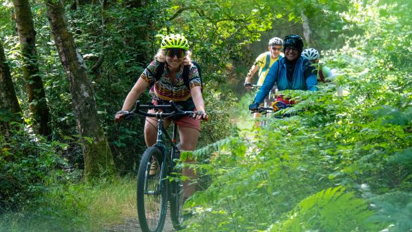
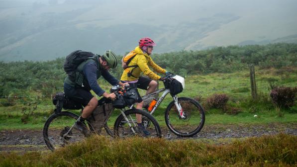
We also make sure to capture lots of photos of the route. I don’t know about you, but I find one great image has the power to stick in my mind and inspire me to add a route to my ride list. Pictures are also important to give people a sense of what the route is like to ride, so they can decide whether it’s for them.

Release it into the wild
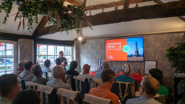
To ensure that all this work and the creation of a new route becomes publicly known, we’ll plan a comprehensive communications plan and launch event to gain maximum publicity for the route. Making people aware of the new route is crucial to that route’s success as well as to building a following to enable us to create further routes for people to enjoy next year and beyond.
By the time we come to publish and launch the route, I’ve spent so long thinking about it and looking at maps that it almost feels strange that people will actually be out riding it.
But that’s the really exciting part. Seeing your photos and the stories of your adventures, which parts you found most memorable, tales of getting caught in rainstorms and stumbling across a life-saving café or seeing a beautiful sunrise from your tent – that reminds me of the wonderful thing about routes.
A simple line traced on a map opens our eyes to places we never would have discovered otherwise. It springs off the page and becomes something we experience with all five senses. There’s something really special about that.


