Knowhow: How to use GPX files

A GPX (GPS Exchange Format) file is an electronic format for sharing cycling or walking routes, which you can view and follow on a phone or bike-mounted GPS device. The GPX file contains a list of points (that is, coordinates) that make up the route line for you to follow.
There are other proprietary file formats such as FIT or TCX files, which contain health and fitness data, but GPX is the standard for sharing and publishing routes. It’s a format that’s supported by all the main cycling navigation apps (Komoot, Ride with GPS, Strava and so on).
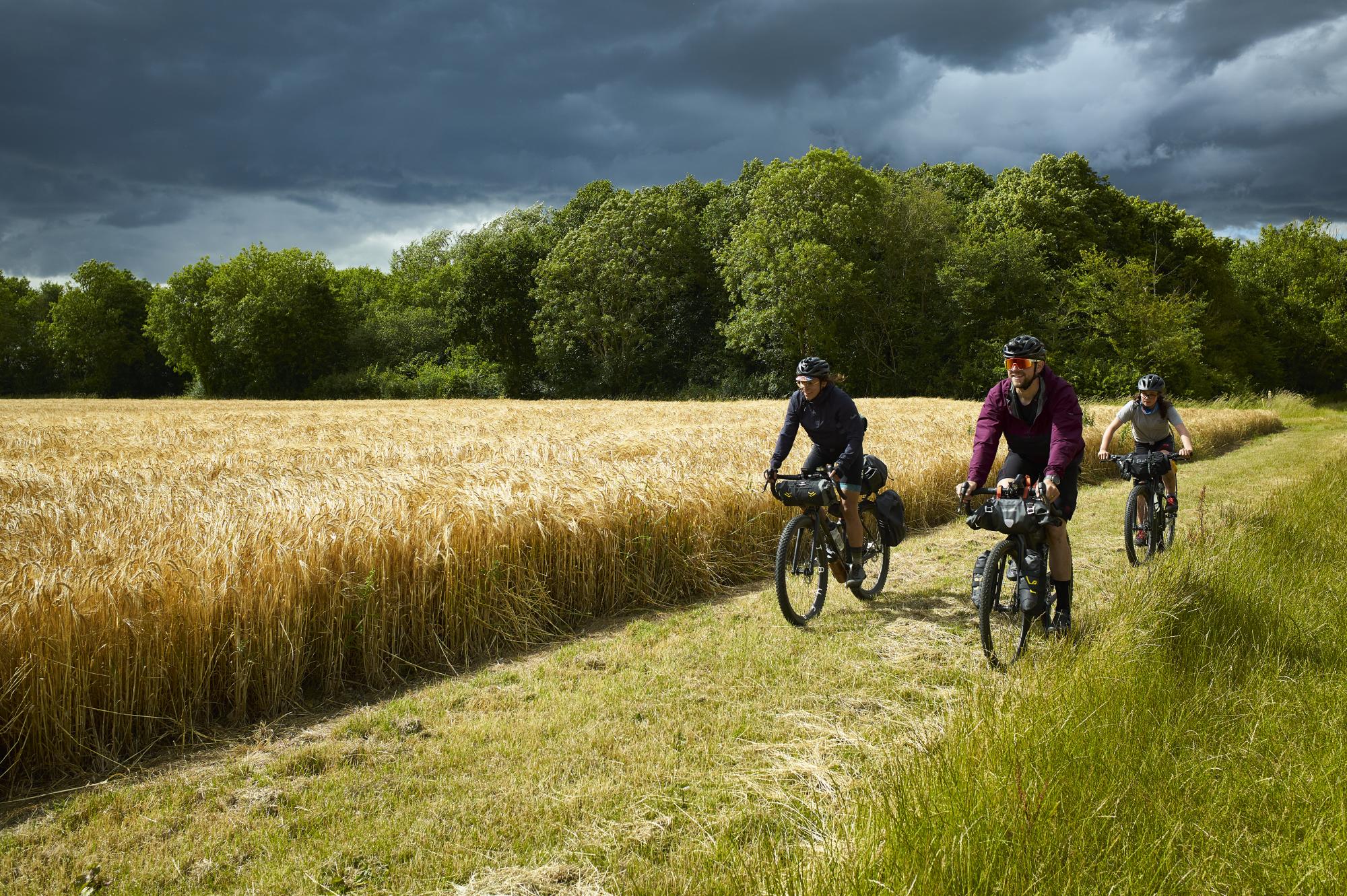
GPX files can be downloaded for free from a myriad of websites, including Cycling UK’s; see, for example, our searchable 200 routes. GPX files for the 19 long-distance Eurovelo routes are also available to download. Most navigation apps come with a set of curated cycling routes, along with the ability for users to create, edit, publish and share their own.
Where to put the file
To use a GPX file you’ll need a smartphone or a bike-mounted GPS computer. Both will allow you to load a GPX file and will help you navigate along it using digital mapping.
GPS computers are tailored for this. Transfer the file to the device from your home computer, tablet or phone using USB, Bluetooth or wi-fi. It will be recognised as a route, allowing you to select it from a list and start navigation. You’ll see the route overlaid on a pre-installed digital map that’s zoomed in to your current location.
Most GPS vendors provide software or apps to simplify this process for you. For example, the Garmin Connect App will recognise a GPX file, offer to create a route from it, and enable you to download it to your Garmin device.
A smartphone works in a similar manner but requires that you install an app to view and navigate a GPX file. You may need to download additional basemap files. To prolong your phone’s battery life whilst navigating, disable mobile data on the phone. See the sidebar for how to use a GPX file on a phone.
Both GPS devices and smartphone apps will record a GPX file as you ride, which is a great way to keep a detailed log of your rides and share them with others.
Share your ride
Sharing a route you’ve ridden with others is relatively easy using the ‘Export to GPX’ option provided by most of the navigation apps and websites. This will download a GPX file to your computer or smartphone, which can be sent to someone as an attachment to an email.
Alternatively you could upload the route to one of the route-sharing sites such as Komoot or Ride with GPS; you’ll need to create an account first. You can make your route publicly available or only viewable by those with whom you want to share.
Using a GPX file on a phone
- Using your phone’s web browser, go to the site containing the GPX; for example, Crossing the Dragon’s Back, across Wales’s Cambrian Mountains. Click on the ‘Download GPX’ link.
- Find the file on your phone – usually in your downloads folder. Select it and click ‘Share’.
- Choose the navigation app on your phone that you wish to use for navigation, such as Komoot or Ride with GPS.
- The app will open and process the GPX file. You may be asked to set the activity type – obviously we choose ‘Cycling’.
- Tap ‘Start Navigation’ when you’re at the route’s start point and are ready to begin.

Popular content