Where are your missing links for off-road cycling?

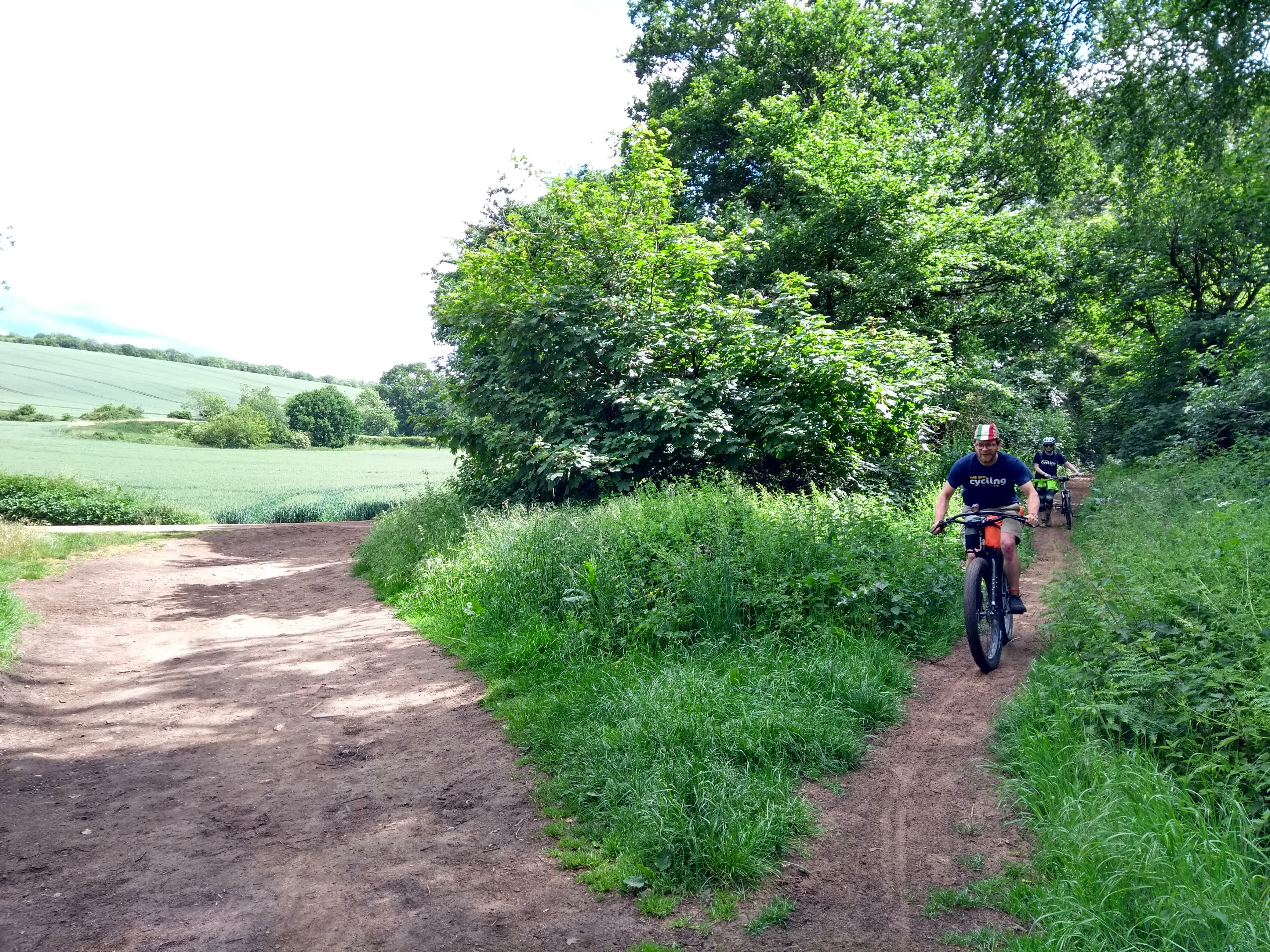
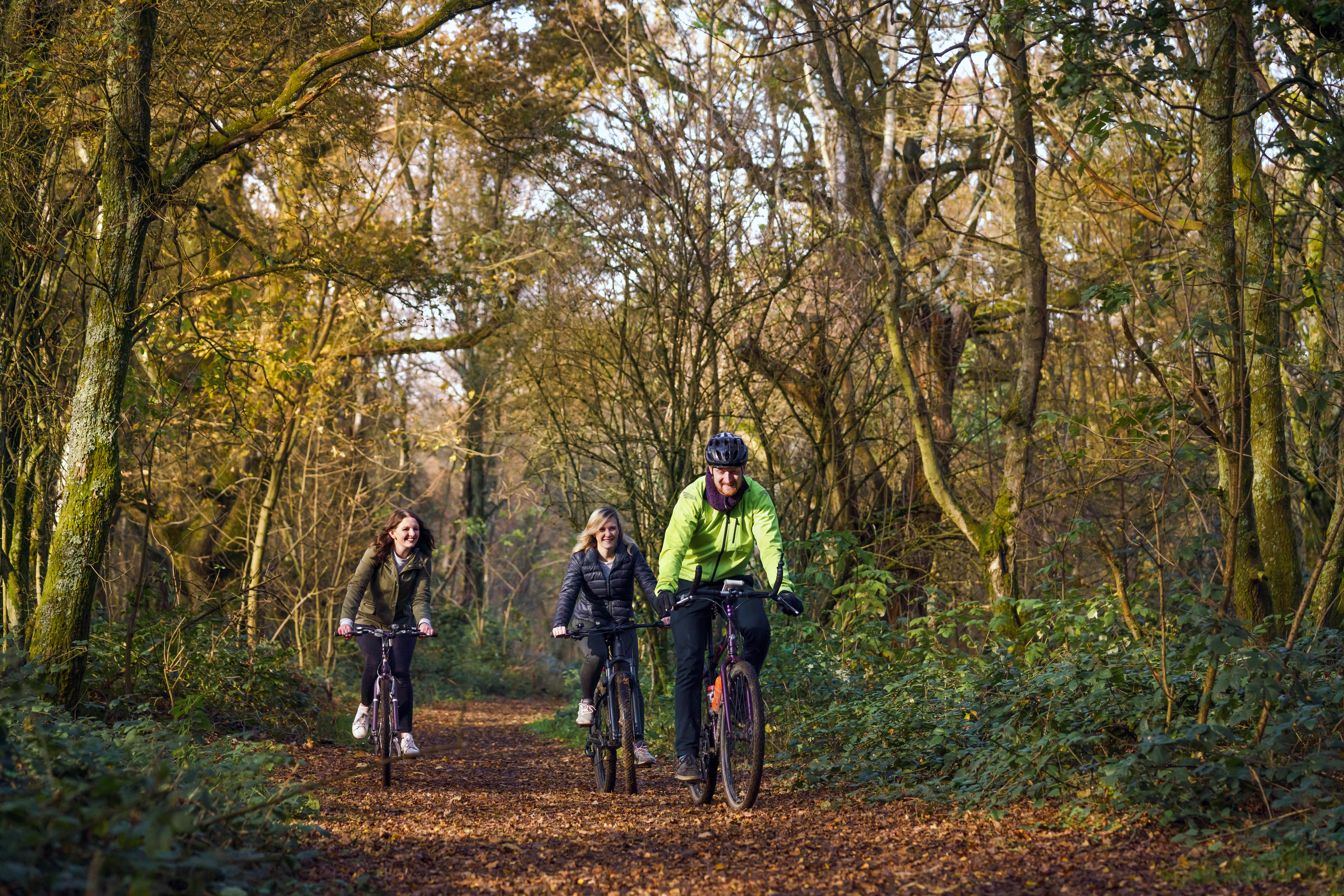
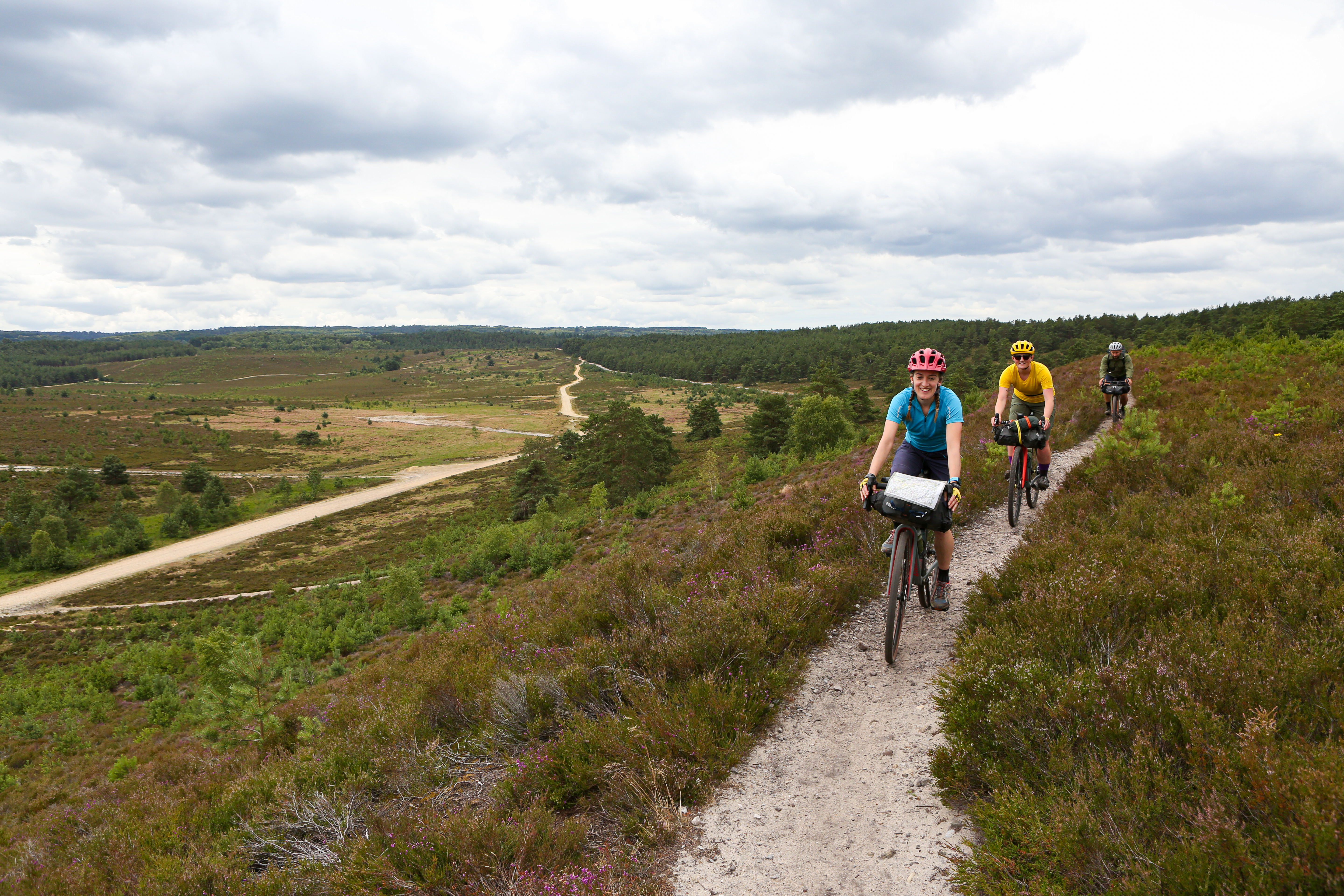
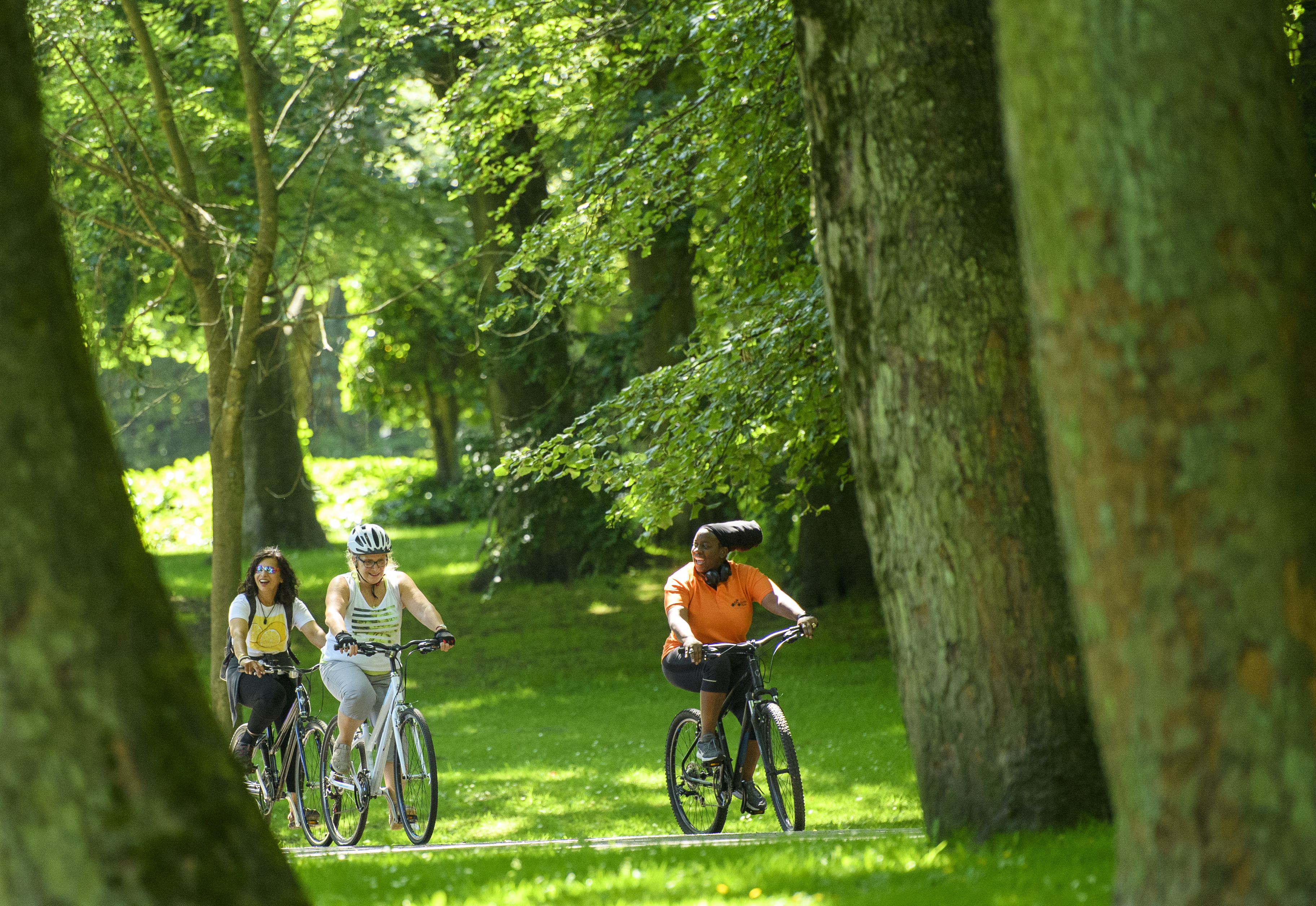
Lockdown restrictions have spurred a new enthusiasm for cycling and nature close to home.
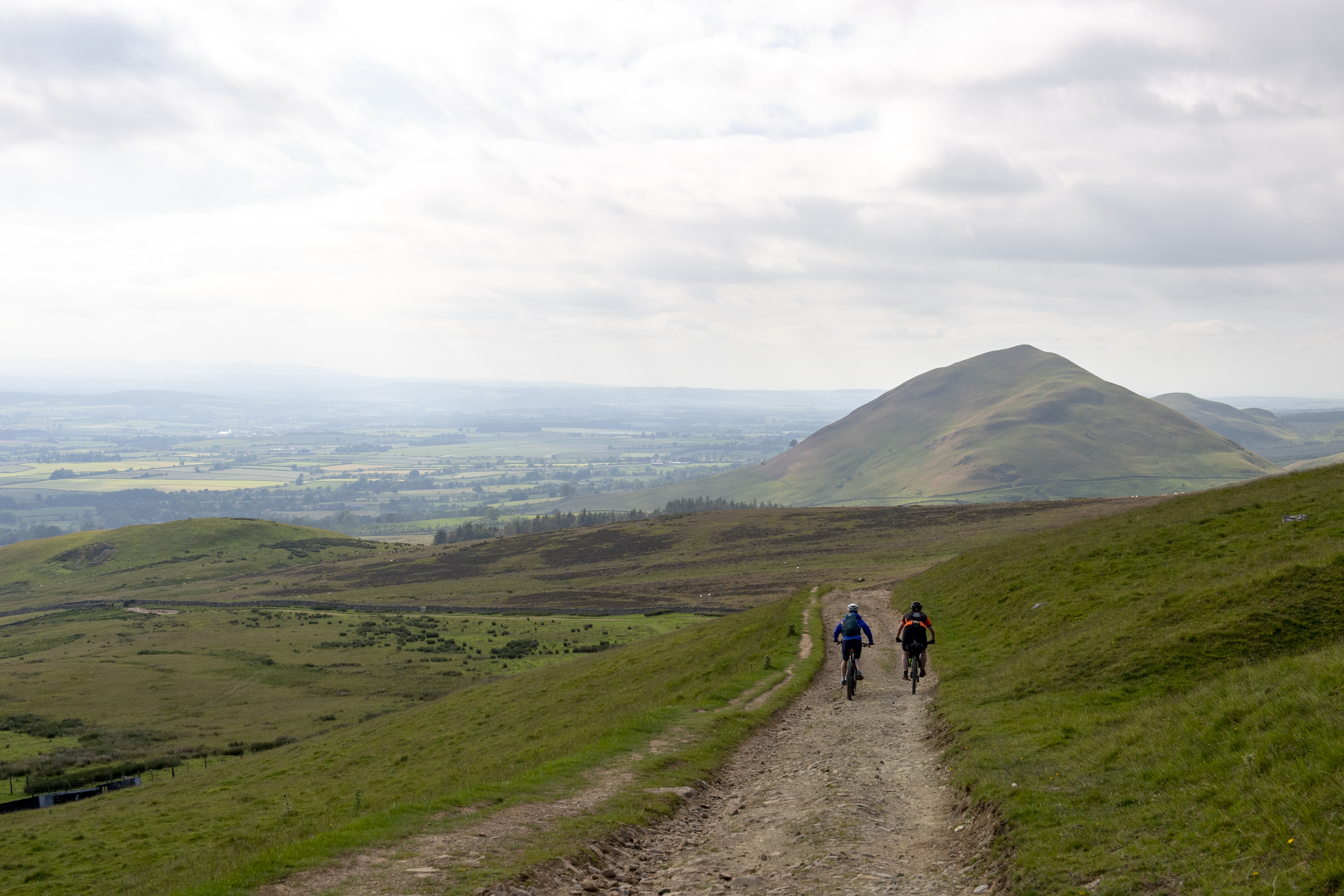
If you’re lucky, you might have great places to ride on your doorstep. If you’re less lucky, it can be difficult to avoid busy roads, which puts some people off cycling from home.
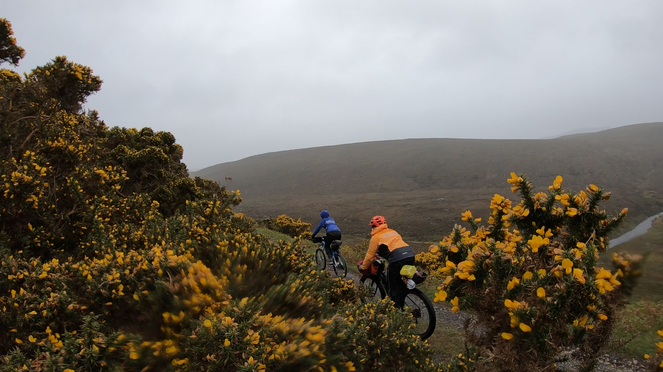
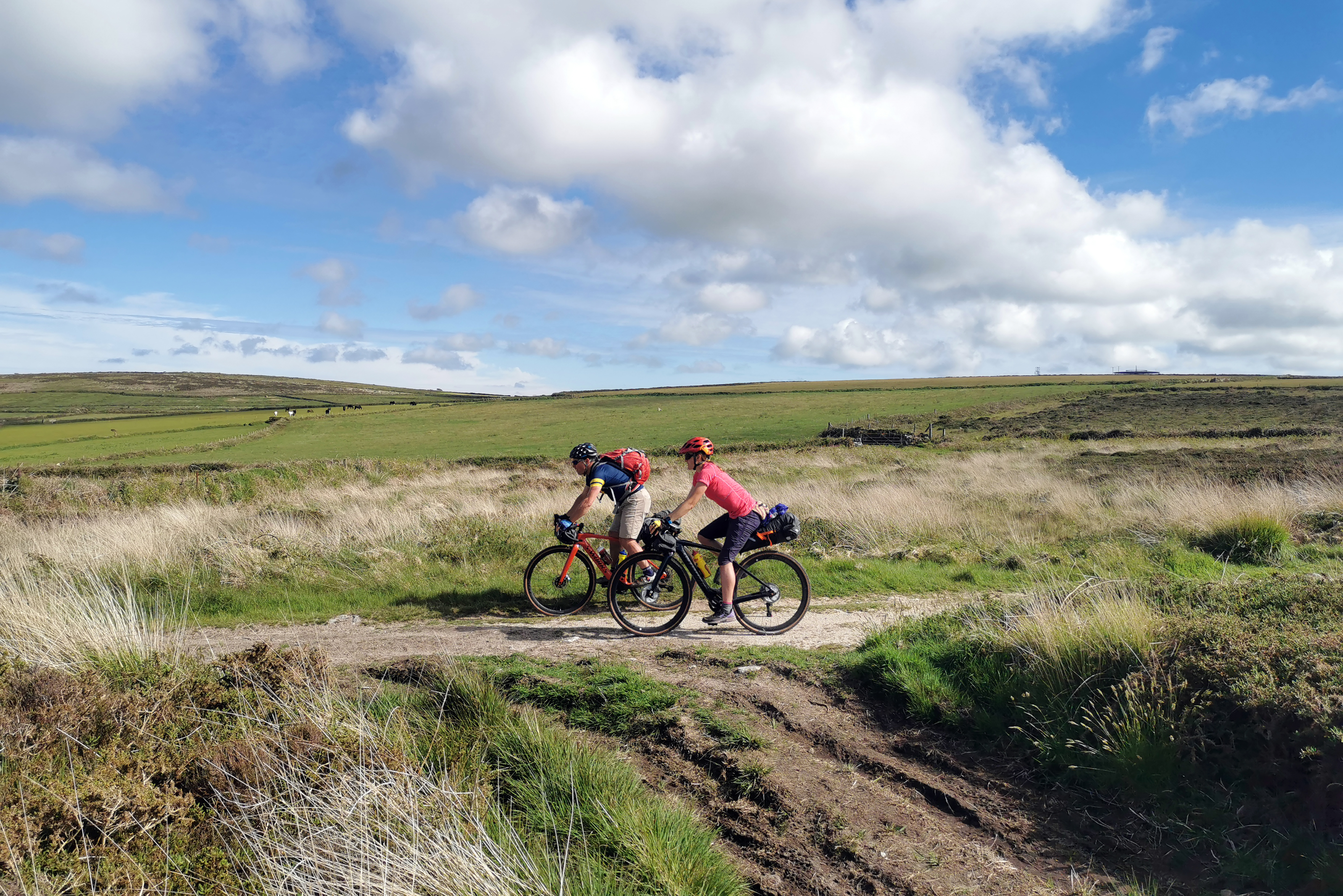
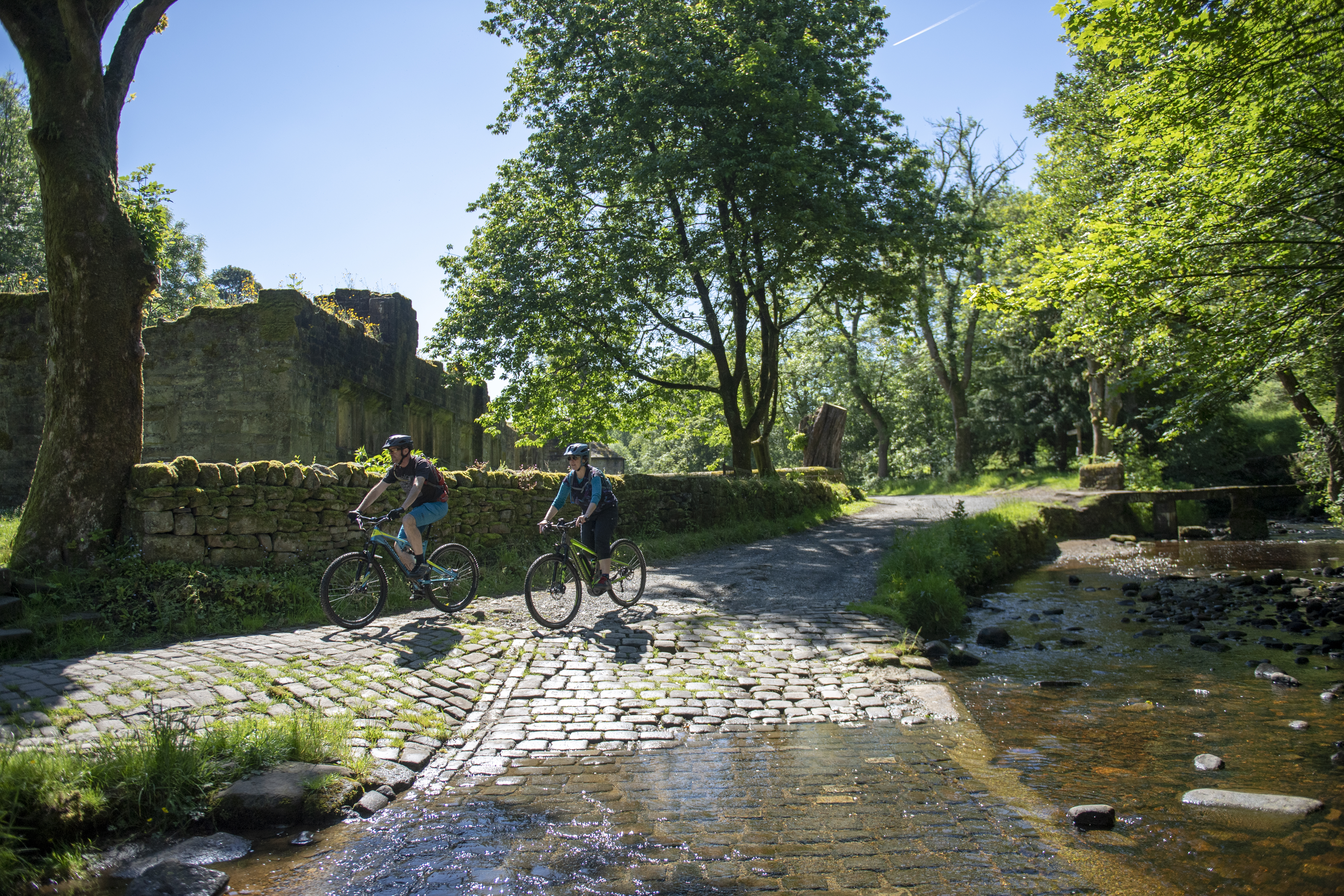
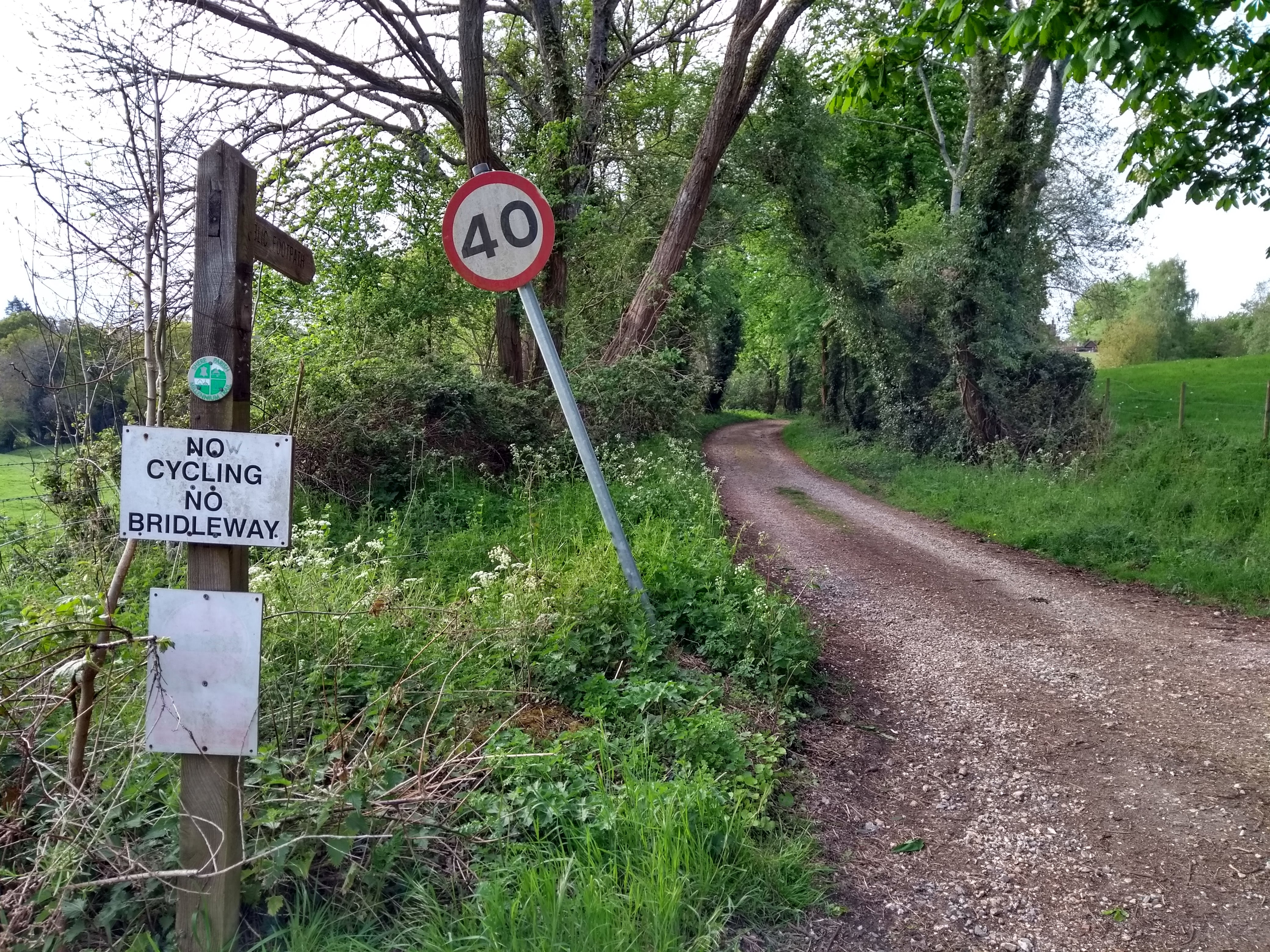
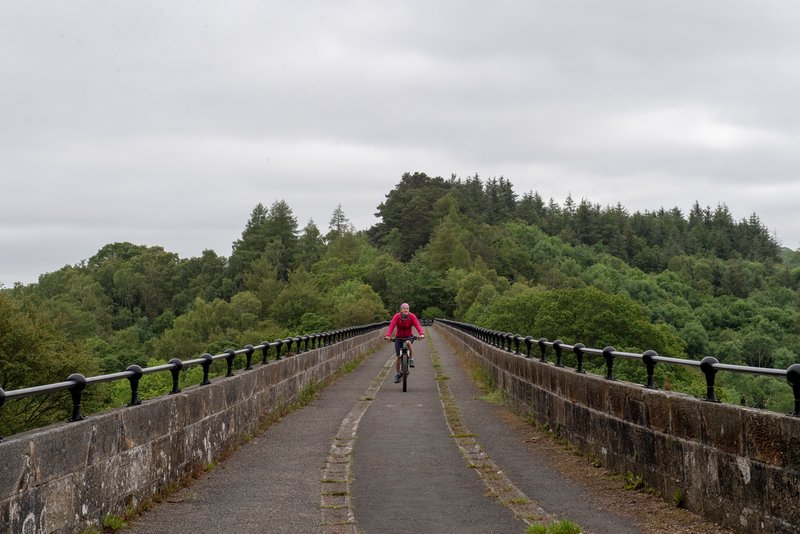
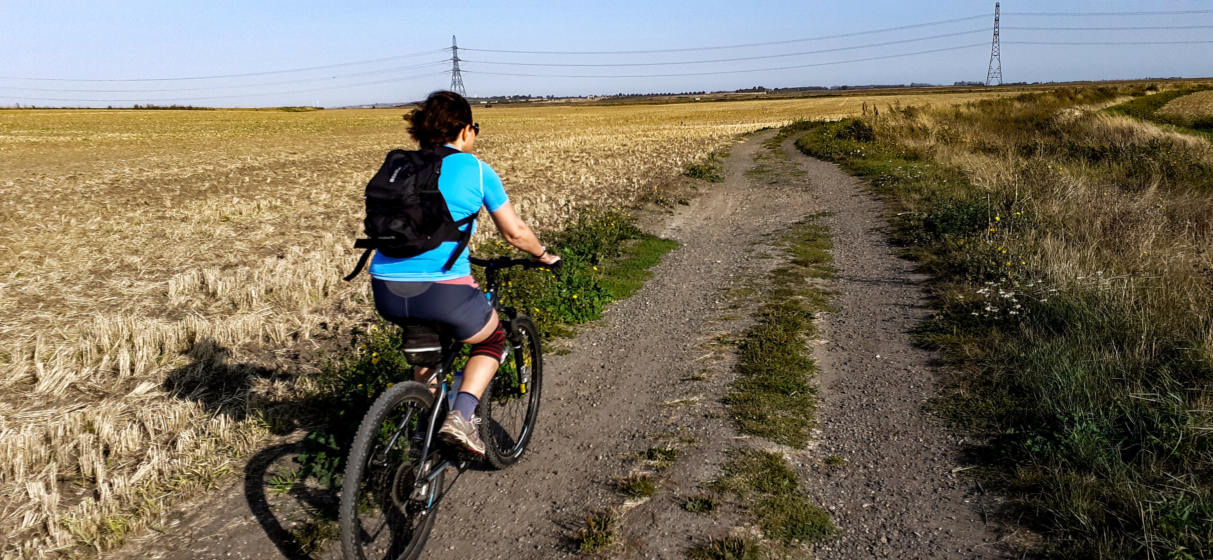
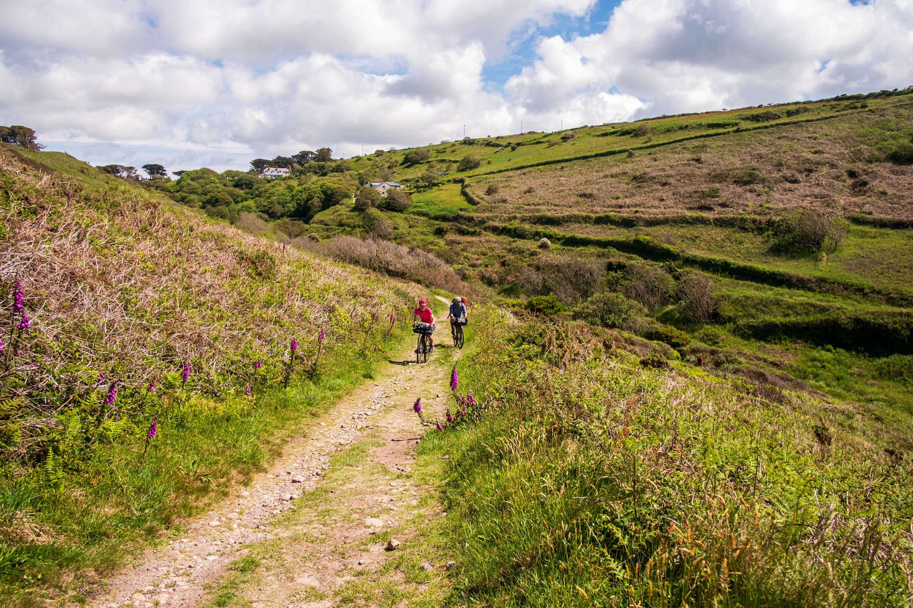
In an ideal world, an off-road ride would allow you to leave your front door, and follow a network of trails from towpaths, to disused railway lines to rocky trails all in one seamless flow. In reality, your ride is likely to include some busy roads you’d rather avoid, and a detour on some muddy bridleways because the direct, better-surfaced route happens to be a footpath.
Often, opening up one short missing link can make the difference.
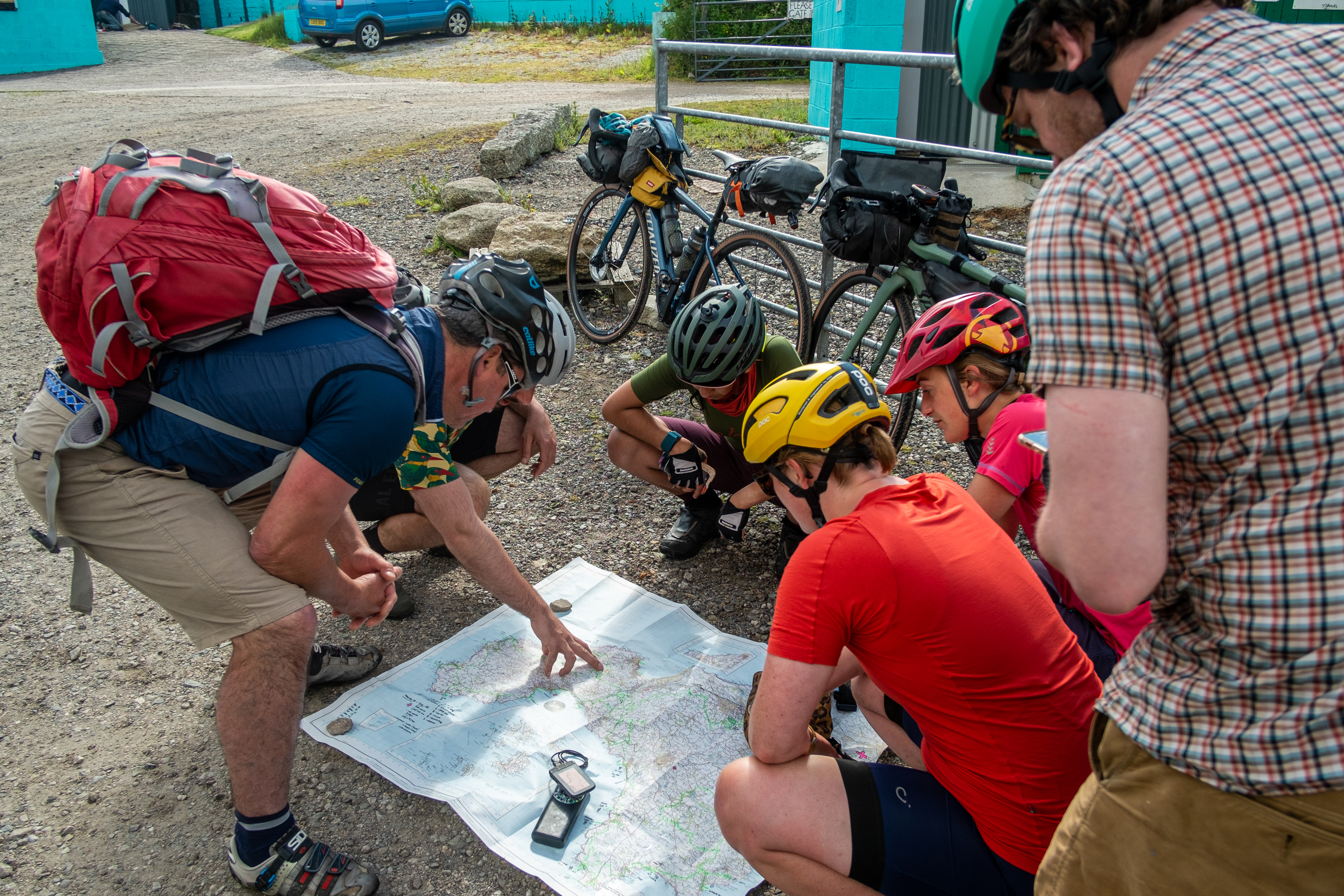
That’s why Cycling UK has launched a new mapping tool to help fill in the missing links for off-road cycling, by enabling people to suggest improvements in the network and ask their council to include these routes in their future planning.
Add your missing links to the map
While Scotland and Wales have been much more progressive in their approach to off-road access, England is lagging. Scotland’s Land Reform Act 2003 allows responsible access to most land provided people follow the Outdoor Access Code, and the Welsh Government is developing legislation to make many rights of way multi-use following campaigning by Cycling UK, OpenMTB and others.
However, in England not much has changed since Cycling UK (then CTC) won cyclists the right to ride on bridleways in 1968. Bridleways and byways make up only 22% of the rights of way network. Of course some footpaths aren’t suitable for shared use, but with over 92,000 miles of them, there are many that are and could link up the often disjointed bridleway network.
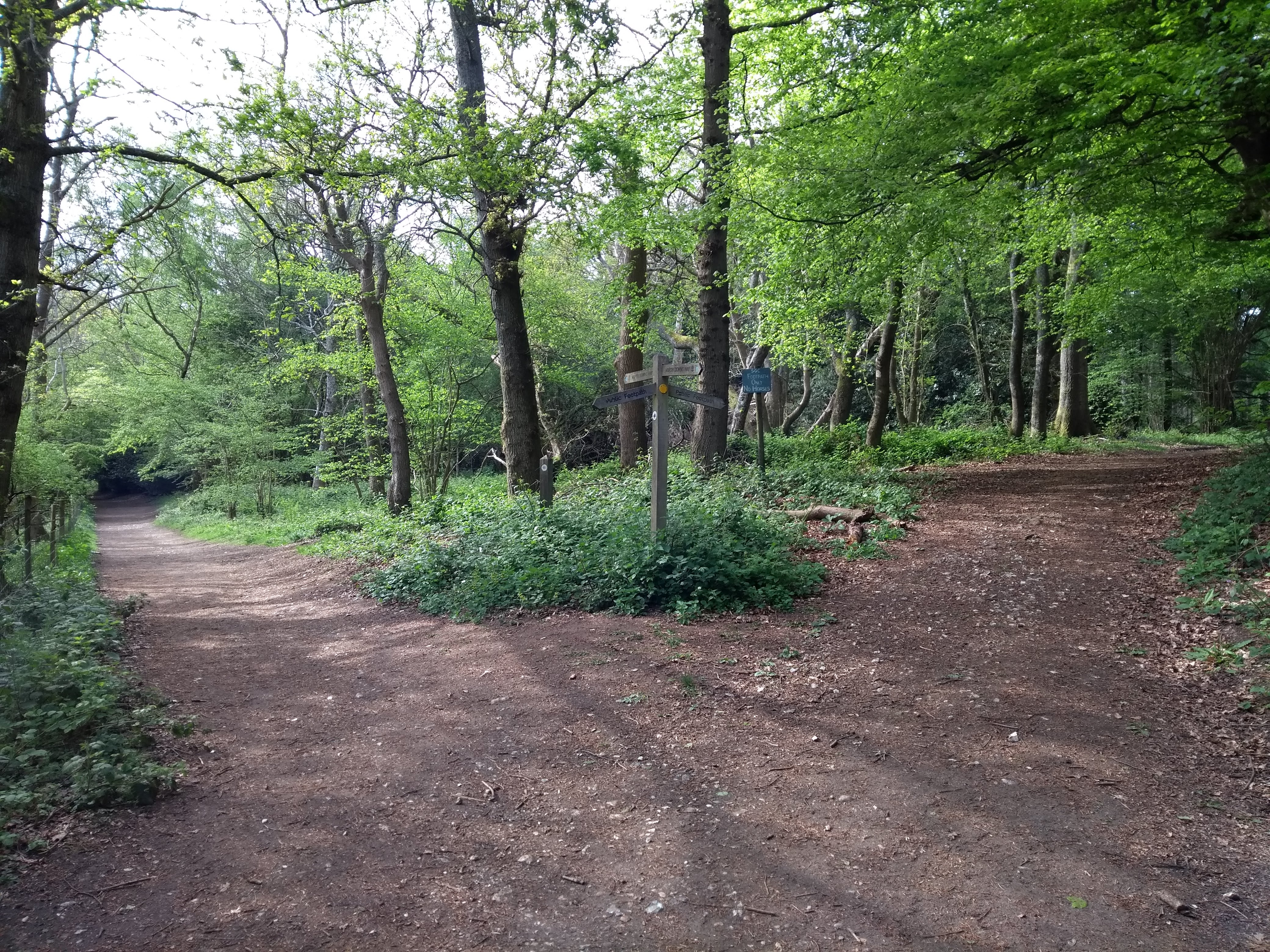
Local authorities produce cycling and walking plans, and also plans to improve off-road rights of way. But these plans often aren’t connected. This isn’t surprising, when you consider they are often created by separate teams within the council. But on the ground, it doesn’t make much sense. There might be a route you’d like to ride on, but you’re not even sure whether it’s a right of way, a permissive path, or an unsurfaced road. How do you know who to contact about it?
That’s why Cycling UK wants to gather all your suggestions on one map, where you can pinpoint your gaps in the network and ask your council to include them in their future plans.
Add your missing links to the map
But we can’t leave it all to councils – rights of way and access teams (or in some cases, a single rights of way officer), have often been under-resourced for many years, and may understandably say they don’t have the capacity to instigate additional changes above the day-to-day workload.
Instead, we as individuals need to become part of the solution – by becoming involved with Local Access Forums, contributing to Rights of Way Improvement Plans when they are consulted upon, and helping to show why improving access to the countryside, upgrading rights of way, and connecting missing links is important and should be properly resourced.
We’ve never been more aware of the importance of being out in nature, and the simple joy and escape of riding your bike. Let’s join the dots to connect those routes and help more people get outdoors.
What else can I do?
If you want to do more to promote responsible off-road access for cycling in your area, there are lots of ways you can get involved:
- Join your Local Access Forum to contribute to discussions about countryside access from a cycling perspective.
- Join the Cycle Advocacy Network to connect with others in your area and find advice and information.
- Create or join a mountain biking advocacy group to build positive relationships with councils and landowners, to figure out solutions to any problems before they become a big issue.
- Research historic rights of way to add to the definitive map.
- Have a look at Cycling UK’s advice for off-road campaigning.
- Subscribe to Cycling UK’s off-road updates to find out more about off-road campaigns.
- Get in touch at campaigns@cyclinguk.org if you want to get involved another way.
Popular content
Further reading