Rights of way are paths which the public have a right to pass along on foot, and sometimes by other modes. They are recorded on council 'definitive maps', but these maps aren't always completely accurate. Cycling UK's guide explains how recording these correctly could open up more rights of way for cycling
This guide uses legislation relevant in England and Wales.
What is a public right of way?
A public right of way is a path which the public has a right to pass along on foot, and sometimes by other modes. See our guide to off-road access in England and Wales for more details.
Types of rights of way:
Footpath
A recorded right of way on foot.
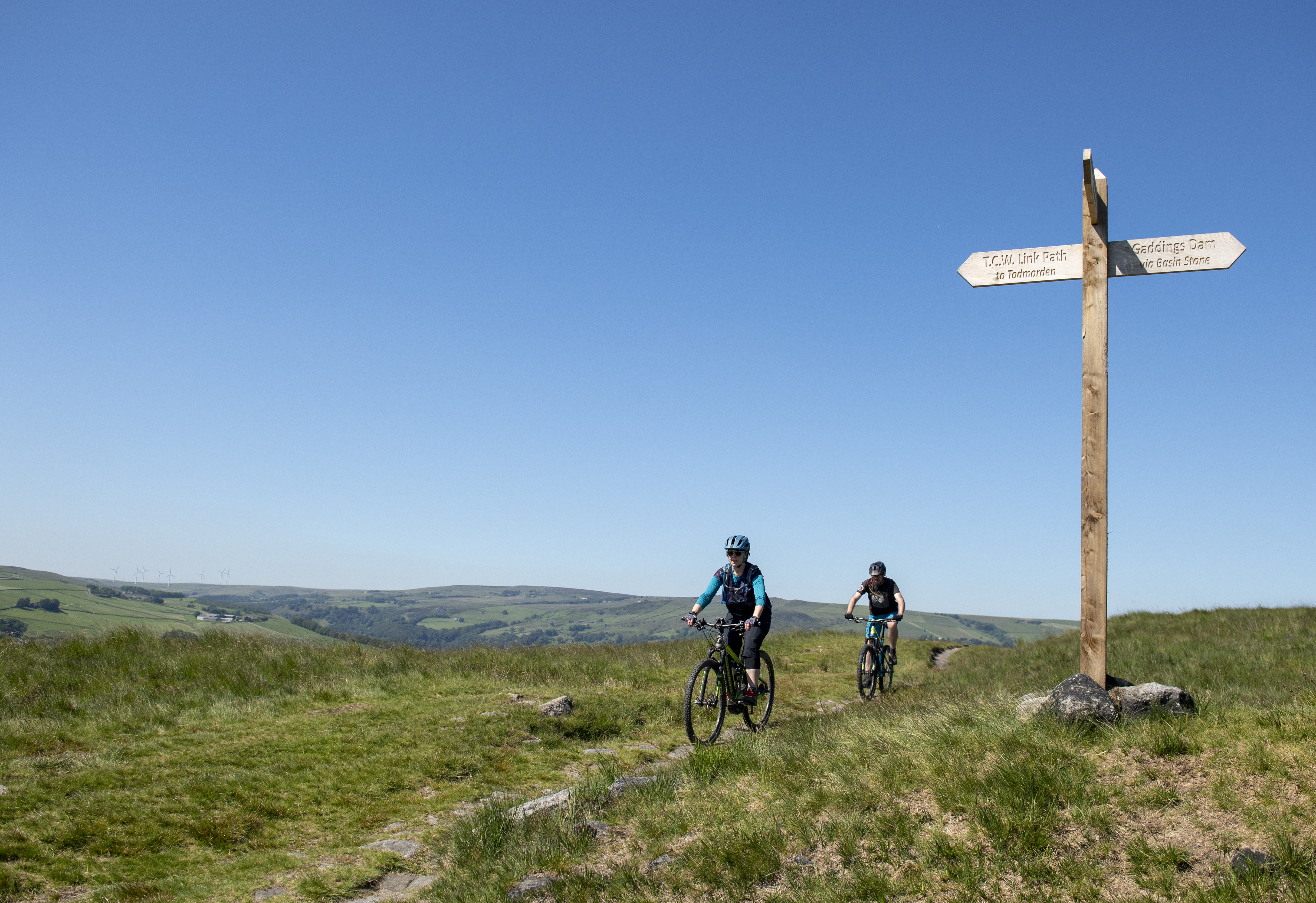
Bridleway
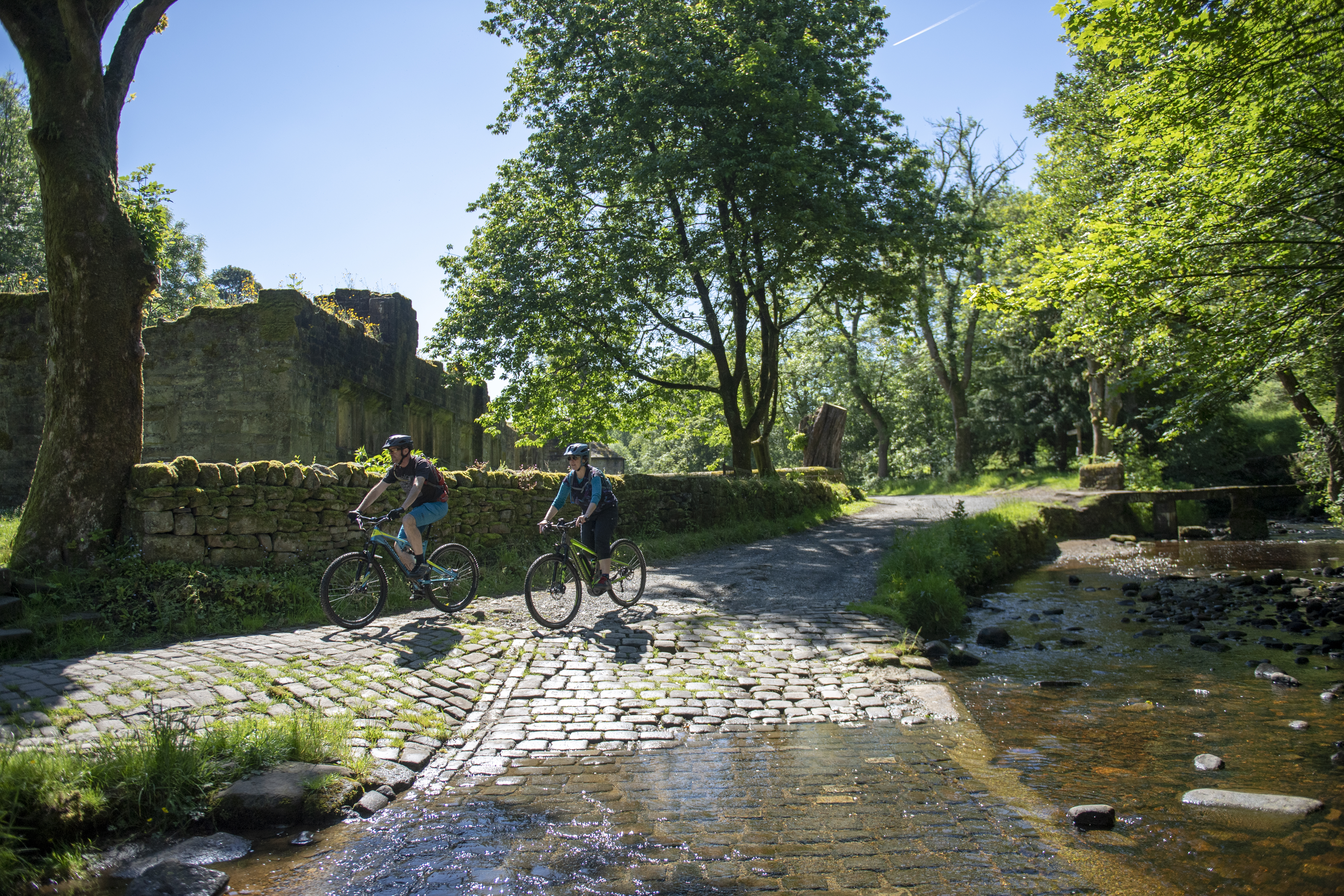
A recorded right of way on foot, on horseback and/or leading a horse, and on a bicycle (introduced by the Countryside Act 1968). Cyclists must give way to walkers and horse riders if encountered.
Restricted byway
A recorded right of way on foot, horseback and/or leading a horse, on a bike, or on any other non-mechanically propelled vehicle (such as a pony and trap).
Byway open to all traffic (BOAT)
A recorded right of way on foot, horseback and/or leading a horse, on a bike, or with any other vehicle including cars and motorbikes.
What is an unrecorded right of way?
The 'definitive map' shows all recorded public rights of way in an area, and is kept in each county or unitary council offices. Many are now available to view online. The maps were first drawn up in the 1950s, and highway authorities (except Inner London boroughs) have a duty to keep the map under continuous review (s53 Wildlife and Countryside Act 1981).
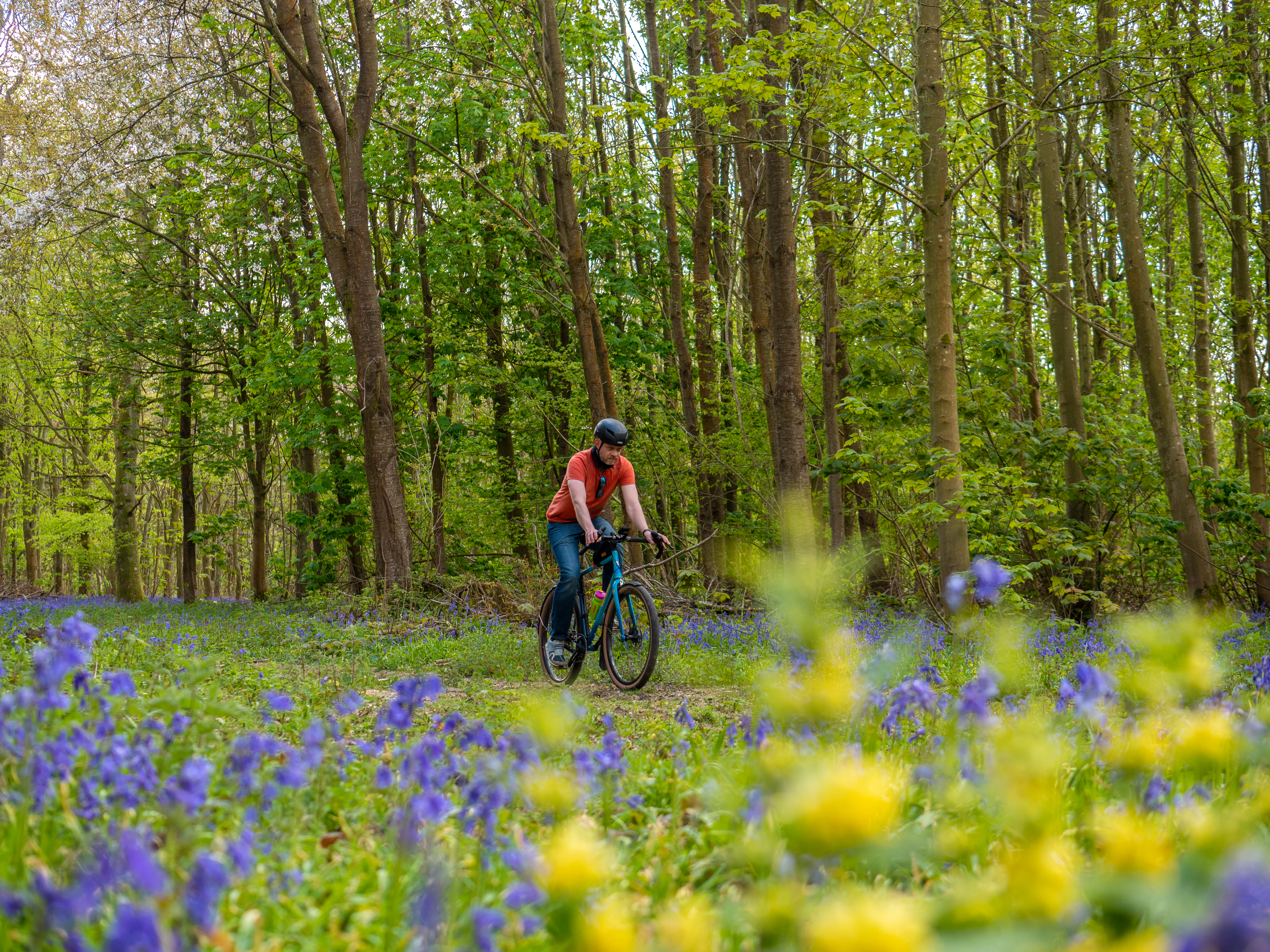
A route that isn't on the map could still be a right of way, however. And, just because a way is shown as a footpath, it doesn't necessarily mean that you can't cycle on it. It's vital that unrecorded ways are added to the map to protect current and future use.
Increasing rights of way for cycling
Bridleways and byways make up just 22% of RoW in England, and 21% in Wales.
Access to land in Scotland is much more widespread, due to the Land Reform (Scotland) Act 2003, which gives the public (including cyclists) lawful access to most land and inland water there, provided they comply with the Outdoor Access Code.
Cycling UK would like to see the Government in England adopt and adapt Scottish-style access laws, but in the meantime, there are a number of options for developing more countryside routes for cycling in England and Wales.
A way that is recorded on the definitive map is protected for existing and future use and it is easier to stop anyone interfering with it. Also, if you've been challenged for using a path (e.g. by a landowner, a 'keep out' sign, or locked gate), if it's not on the map, you may lose your right to ride on it.
Under the Countryside and Rights of Way Act 2000, historic rights of way which existed before 1949 and have not been added to the definitive map by 1 January 2026 will be extinguished and the public right to use them will be lost. It's crucial that these lost ways are recorded before the cut-off date.
Make a claim
There are two basic methods to make a claim. They can be used together and the relevant highway authority will be able to guide you through the process in detail.
2. Deemed Dedication following 20 years of cycle and/or equestrian use (Section 31, Highways Act )
Our guide explains the difference between these two methods, followed by an outline of the general process for making a claim to modify the definitive map.